
Hadramout Flood Disaster of 2008: Days of Destruction That Changed the Lives of Thousands of Families
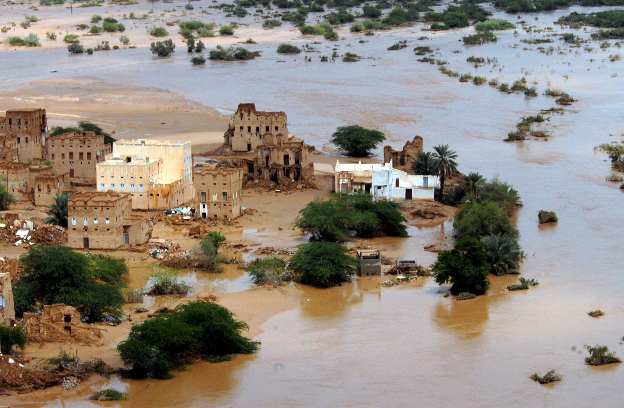
In late October 2008, Hadramout experienced one of the worst natural disasters in its modern history, after heavy rains and devastating floods destroyed homes, roads, farms and infrastructure, claimed dozens of lives and displaced thousands of residents. The disaster left deep humanitarian and economic impacts, particularly in areas of Wadi Hadramout that suffered widespread damage.
- Date
- 24 October 2008
- Place
- Sah, Tarim, Seiyun, Mukalla, Brum and Shuhayr
- Ago
- 18 years ago
Historical background
Hadramout is characterized by terrain that combines coastlines, highlands, plateaus and extensive valleys, which receive rainwater from wide areas. Some of their channels turn into powerful floodwaters during periods of heavy rainfall.
Historically, the people of Wadi Hadramout have relied on floodwaters for farming and irrigating land. However, exceptional rainfall can cause water levels to rise and overflow their usual channels, threatening population centers, farms and roads.
In late October 2008, the governorates of Hadramout and Al Mahrah were affected by severe weather associated with a tropical depression over the Gulf of Aden, which caused exceptional rainfall over a short period.
The heavy rainfall and extensive surface runoff led to devastating floods that swept through residential and agricultural areas, at a time when some settlements and mud-brick buildings were highly vulnerable to water.
Details
October 23 and 24: When the Rains Turned into a Disaster
The severe weather began on the evening of October 22, 2008, and intensified over the following two days, before the tropical storm known by the code 03B struck eastern Yemen on October 24.
According to the Damage and Needs Assessment prepared by the Yemeni government in cooperation with the World Bank and international partners, heavy rainfall continued for about 30 hours, with nearly 91 mm of rain recorded in the areas covered by the assessment, compared with usual rates of between 5 and 6 mm for the reference period.
Valley channels turned into devastating floodwaters that swept through homes and farmland, cut off roads and isolated a number of population centers.
Wadi Hadramout: Areas Under the Weight of the Floods
The districts of Sah and Tarim were among the areas most affected by the disaster, along with other areas in Wadi Hadramout and along its coast.
In Sah, floodwaters swept away homes and farms and claimed residents’ lives, while the water caused mud-brick buildings to collapse, unable to withstand the force of the flow.
A journalistic investigation published on the Hadramout Governorate website in 2009 documented painful testimonies from families who lost relatives and others who survived after water surrounded their homes.
The coast also saw major roads cut off, including the roads linking Mukalla with Brum, Fuwwah and Buwaysh, while traffic was disrupted in several areas of the valley.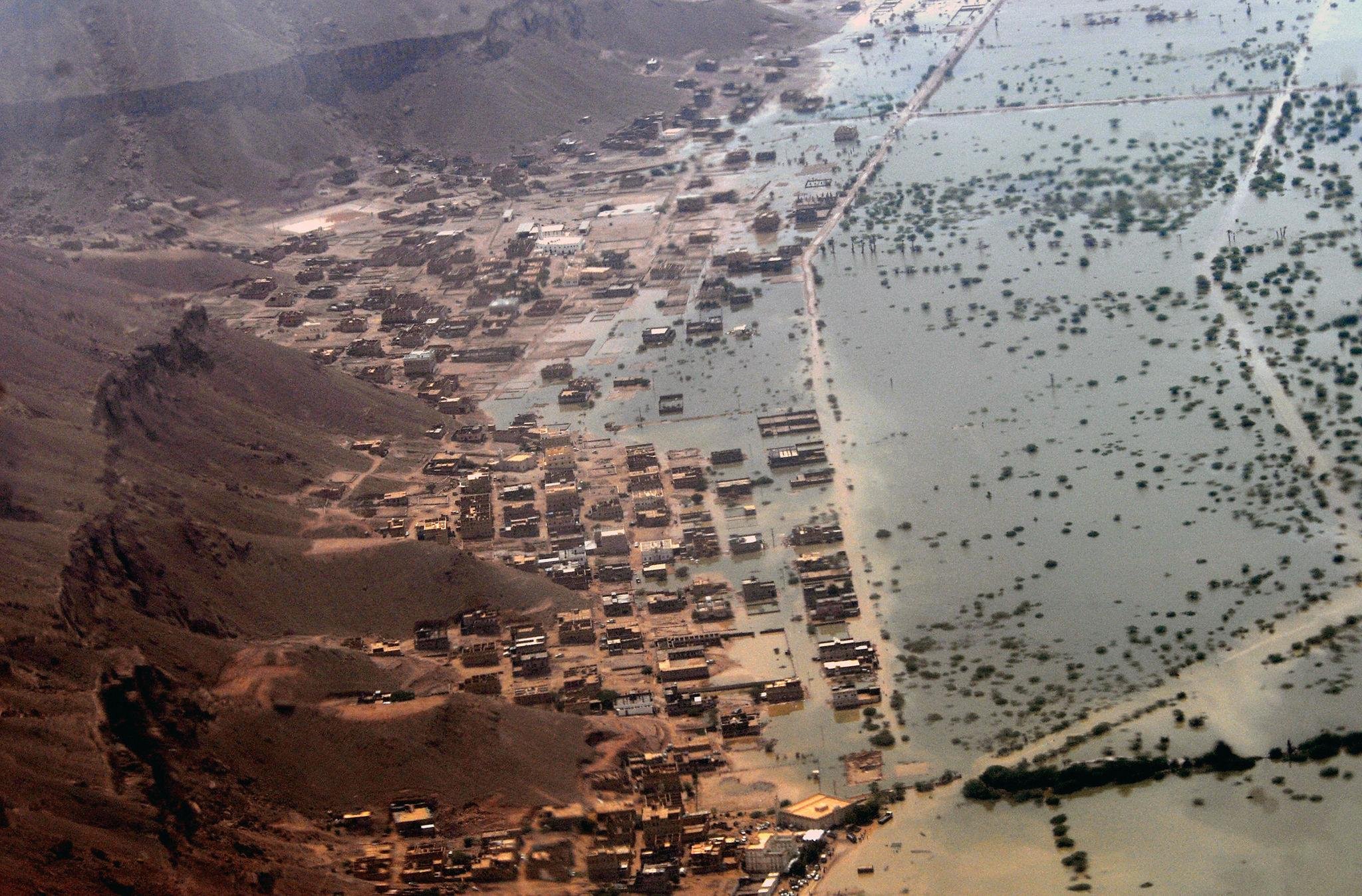
Human Losses: Figures Reveal the Scale of the Tragedy
Documented preliminary toll as of October 31, 2008 – Hadramout and Al Mahrah combined
73Reported deaths
17Missing
2,826Homes and huts destroyed
25,000Approximately displaced
Source: Damage, Loss and Needs Assessment issued by the Yemeni government and the World Bank and their partners.
Partial damage to about 3,679 homes in the two governorates was also recorded. Published figures varied in the following weeks because of the difficulty of reaching some areas and differences in assessment dates and scope. Therefore, the preliminary figures should not be treated as the final toll of the disaster.
Agriculture and Infrastructure: Losses Extended to Livelihoods
The flood damage was not limited to homes; it also affected farms, palm trees, wells, water and electricity networks, and roads.
According to the World Bank’s 2009 annual report, around 13,000 acres of farmland were severely damaged by soil erosion, nearly half a million palm trees were uprooted, and extensive losses were also suffered in livestock and beehives.
This damage had a severe impact on families reliant on farming, livestock raising and honey production, as many lost their sources of income along with their homes and belongings.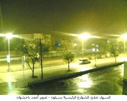
Humanitarian Response and Rescue Operations
On October 26, 2008, the Yemeni government declared Hadramout and Al Mahrah disaster-hit areas, and a relief and rescue committee was formed the following day.
Government agencies and international organizations took part in evacuation operations and provided food, shelter and medical assistance.
The United Nations High Commissioner for Refugees sent trucks carrying relief supplies, as well as air shipments that arrived in Seiyun, while the World Health Organization provided medicines and medical supplies to the affected areas.
Helicopters were used in some rescue operations and to reach isolated areas, amid major challenges caused by road closures and the continued flow of water.
After the Disaster: Reconstruction and Recovery Challenges
As the floodwaters receded, efforts began to assess the damage, reopen roads, provide shelter and repair essential services.
The World Bank approved additional funding of $35 million to support the rehabilitation of damaged infrastructure and strengthen disaster preparedness and response capabilities.
However, rebuilding homes and restoring farmland and sources of income posed a long-term challenge, particularly for families who had lost all their belongings.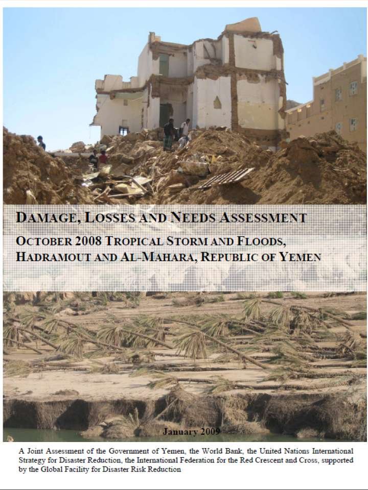
Historical impact
The October 2008 flood disaster marked a turning point in awareness of natural disaster risks in Hadramout, revealing how vulnerable population centers and infrastructure were to exceptional flooding.
The disaster highlighted the need to develop early warning systems, regulate construction away from flood channels, improve drainage networks, and strengthen the readiness of rescue and emergency teams.
It also left deep social and economic impacts, especially among families who lost their homes, farmland and relatives.
Eighteen years later, the 2008 floods remain present in the memory of Hadramout’s community as one of the worst natural disasters the governorate has experienced in its modern history.